
1 – 27 April 2018 (Online); 14 – 18 May 2018 (Classroom) / Riga, Latvia
Working with satellite-based climate data records, in combination with station-based climate data, was the subject of the 2018 EUMETSAT training course on the “Use of gridded satellite data for climate services”.
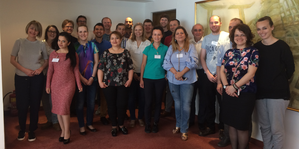
Forty-four scientists participated in the online phase and 17 attended the classroom phase, kindly hosted by the Latvian Environment, Geology and Meteorology Centre (LVGMC).
For the first time the combined use of R-Instat and the CM SAF R Toolbox was tested in Europe, and proved to be as successful as it was when used in Africa! Also for the first time, this course included an introduction to the Climate Data Store (CDS) of the Copernicus Climate Change Service (C3S).
The major part of the classroom phase was reserved for work on individual mini projects. Participants worked on real life questions using CM SAF data, with support from the course instructors. At the end of the week all participants presented their results.