
2-6 November / Prague
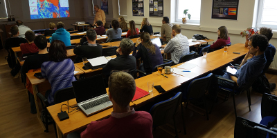
In November 2015, 38 participants, mainly forecasters and PhD students of meteorology, from 15 countries took part in a workshop on the use of rapid scan data for monitoring and nowcasting of high impact weather, organised by CHMI and EUMETSAT.
The topic ‘Use of rapid scan data’ was chosen because of the anticipated operational availability of more frequent rapid scan data on the new generations of geostationary weather satellites, such as MTG-I, Himawari-8 and GOES-R/S, which will replace the present generations of GEO satellites in next few years. The main purpose of the workshop was to demonstrate the benefits of more frequent rapid scan data on cases of deep convective storms and high impact weather situations, and to compare these data to presently available 5-minute RSS and 15-minute MSG data.
Based on the results of the final discussion, Meteosat-9 rapid scan images are operationally displayed in most, but not all, NMHSs in Europe. These images are more often used in the spring and summer convection seasons, but also during winter by aviation and road forecasters. Rapid scan images are also popular with weather amateurs , particularly for storm chasing.