
23 Nov – 4 Dec 2017 Online / 20 Nov – 24 Nov 2017 Classroom
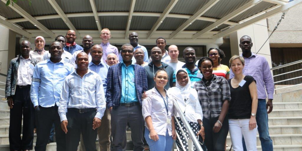
From more than 80 applicants from all over Africa, 19 participants from 13 African countries attended the Training Workshop on ‘The Use of Gridded Satellite Data for Climate Services in Africa’.
This course was run in close collaboration with the CM SAF, and hosted by SAWS. For the first time EUMETSAT collaborated with Stats4SD, who provides the free and open software R-Instat. R-Instat follows Instat, a software that manages climate data and is well known in Africa. R-Instat allows users to combine in-situ observations with any satellite-based climate data provided, e.g. by the CM SAF.
As in previous years, the course comprised of an online phase and classroom phase. During the online phase participants engaged with the principles of satellite-based climate monitoring, and were provided with a first overview on the software tools R (CM SAF R Toolbox, and the CM SAF R package) and R-Instat. The major part of the classroom phase was reserved for work on individual mini projects. Participants worked on real-life questions using CM SAF data, with support from the course instructors. At the end of the week all participants presented their results.