Why do we need GNSS Water Vapour Observations?
Water vapour plays a pivotal role in atmospheric processes, making its accurate measurement and distribution essential for both weather forecasting and climate monitoring. This invisible gas is fundamental for the formation of clouds and precipitation that directly impact our daily weather. Indeed, about half of the energy driving atmospheric processes originates from the latent heat released when water vapour condenses into liquid water droplets. Water vapour is also the greenhouse gas with the largest impact on the Earth’s surface radiation balance. Despite its importance, water vapour has not been the subject of comprehensive observations.
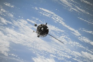
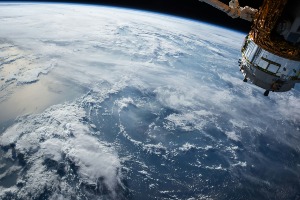
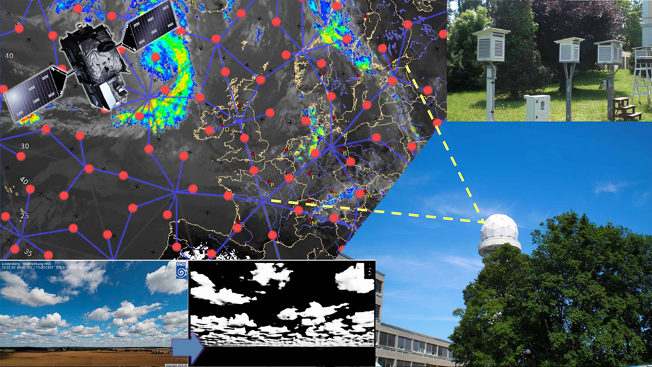
The radio waves emitted by satellites within the Global Navigation Satellite System (GNSS) are highly sensitive to atmospheric conditions, causing them to experience delays and bending in their travel path. Among the various atmospheric constituents, water vapour has a particularly significant impact on these signals. This impact can be exploited to obtain valuable additional information on the water vapour content of the atmosphere.
How does EUMETNET contribute to GNSS Water Vapour Observations?
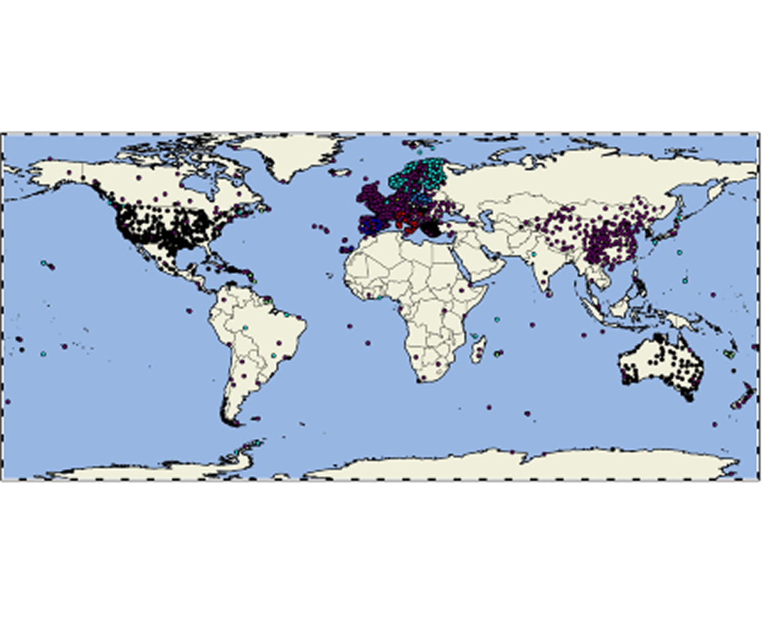
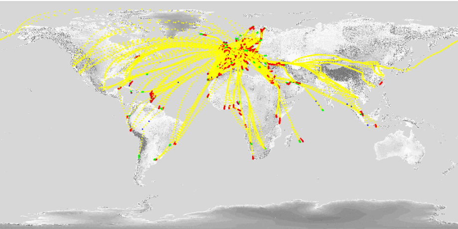
The EUMETNET GNSS Water Vapour programme (E-GVap) leverages GNSS technology, including the well-known GPS, to provide information about atmospheric water vapour content, thus addressing the gap in water vapour observations. By using data from ground-based GNSS receivers that interact with orbiting satellites, E-GVap enhances our understanding of water vapour distribution in the atmosphere and, therefore, improves weather and climate model predictions.
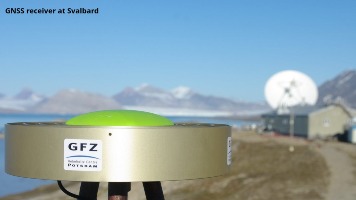
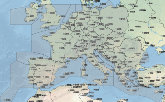
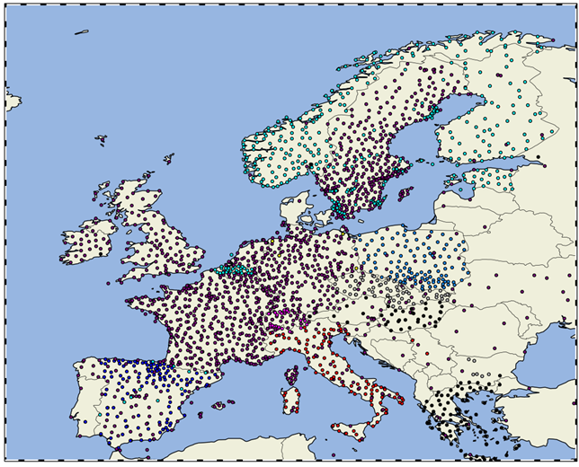
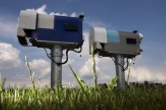
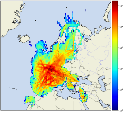
The E-GVap programme collects data from ground-based, high-quality GNSS receivers—primarily owned by geodetic institutions. They were originally installed for precise positioning. The Zenith Total Delay (ZTD) is estimated from the received satellite signals, which implicitly include information about the integrated water vapour in the atmosphere. The ZTDs are then forwarded to E-GVap, which distributes them for meteorological use in near real-time and conducts quality monitoring. The ZTDs serve as direct input to weather forecast models, alongside numerous other types of observations, enhancing forecast accuracy. In addition, from the ZTD one can derive integrated water vapour, which is invaluable for on-duty weather forecasters, as this integration of GNSS data into meteorological practices significantly improves our ability to predict weather patterns and understand atmospheric dynamics.
Who’s leading this EUMETNET activity?
The E-GVap Programme is led by the National Meteorological Service (NMS) of Denmark (DMI) in partnership with the NMSs of the UK (Met Office) and the Netherlands (KNMI).
Programme manager: Henrik Vedel, DMI
Email address: henrik.vedel[at]eumetnet.eu
Featured Images