
Online
The EUMeTrain satellite data hub ePort PRO has recently been updated with new satellite data.
To provide a full Earth coverage with geostationary satellite data, GOES-17 image data have been included into ePort. Five geostationary satellites (Meteosat-8, Meteosat-11, GOES-16, GOES-17 and Himawari) now provide a complete scan of the Earth’s atmosphere, four times a day. The GOES RGB palette has been extended by the Day Microphysical and the Snow RGBs, so it now provides the same range of RGBs as the MSG satellites.
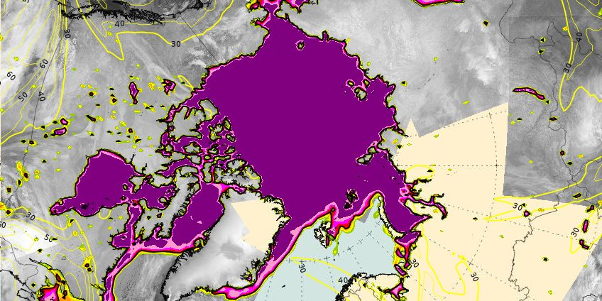
For the Arctic region, Metop-A images (VIS and IR) have now been complemented by Metop-B image data. The most recent overpass is always displayed before any earlier overpass.
The image frequency of the operational MSG satellite (MSG-11) and MSG-8 (IODC) has been increased to a three-hour interval. This also includes the accompanying satellite products and NWP fields. This reduced time interval will be beneficial when analysing rapidly changing weather phenomena, like convection.
Finally, a new Web Mapping Client has been provided by Sergio Gallego from the Catalonian National Weather Service. This WMS complements ePort and ePort Pro, and offers functionalities based on JavaScript, as an alternative to the other portals which are based on Flash.